ACAMAI: Automating City Accessibility Mapping through AI-assisted Scanning
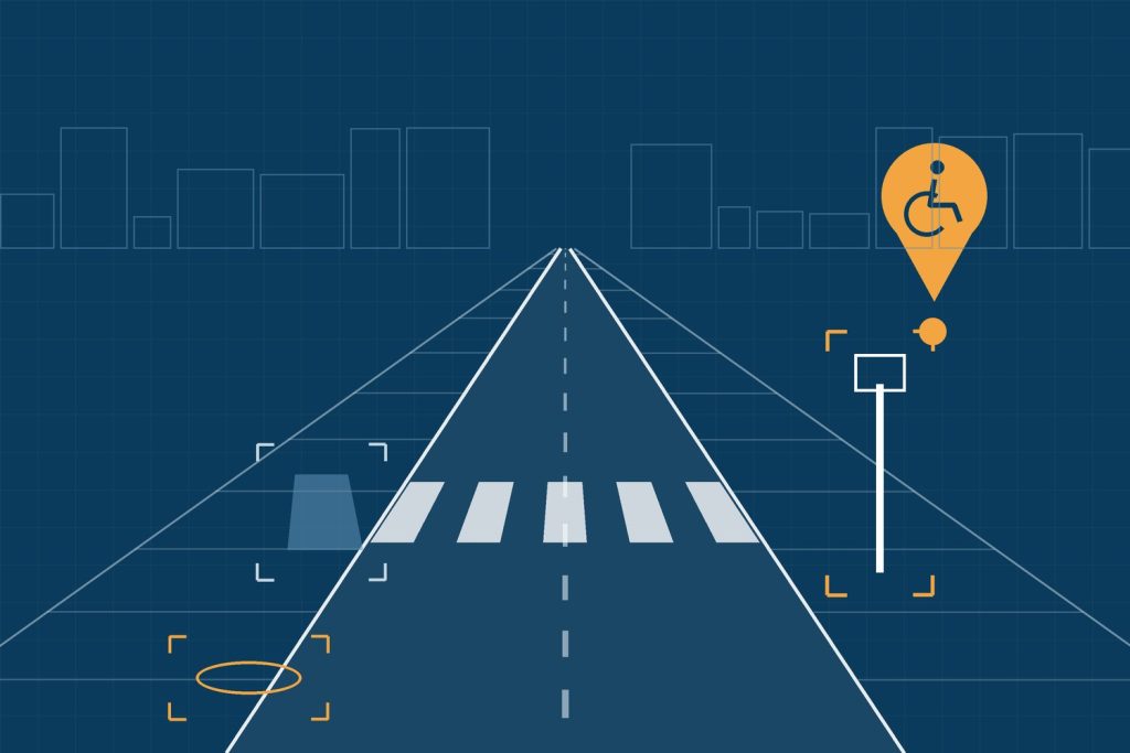
ACAMAI — Automating City Accessibility Mapping through AI-assisted scanning was an exploratory FCT project at Universidade Fernando Pessoa (UFP). It used computer vision and deep learning on street-level imagery to map accessibility features and barriers in cities, giving planners, decision makers, city workers and citizens constantly updated, normalised and reliable information about accessibility.
What the project did
- applied transfer learning to detect accessibility features and constraints — kerb ramps, obstacles, sidewalk problems — in Google Street View images;
- created labelled datasets for the city of Porto;
- tested the tools of Project Sidewalk for collecting and validating labels;
- followed OpenStreetMap standards, so that the results can be shared and reused;
- designed the platform to be replicable in other cities.
Recognition
- Honourable mention in the Mobility & Logistics category of the 3rd Cities & Territories Prize (APDC), May 2024.
- Selected for the Porto Elderly-Friendly City Action Plan 2023–2025.
Team
- Prof. Maria João Guerreiro, UFP
- Prof. Rui Silva Moreira, UFP
- Prof. Alzira Dinis, UFP
- Prof. Sara Sucena, UFP
- Prof. Luís Pinto de Faria, UFP
- Prof. Ana Paula Rocha, LIACC / FEUP
- Diogo Ferreira, Sérgio Moita and Madalena Pereira, MSc students
Collaborators: Vítor Silva, Feliz Gouveia, and BSc students João Santos, Carlos Machado de Sousa and João Teixeira.
Outputs
- Guerreiro et al. The 15-Minute City in Porto, Portugal: Accessibility for the Elderly. Cities, Elsevier, 2025. doi.org/10.1016/j.cities.2025.106655
- Moreira et al. Automating City Accessibility Constraints Mapping Through AI-assisted Scanning of Street View Imagery. IET Smart Cities 7(1), Wiley, 2025. doi.org/10.1049/smc2.70020
- Moita et al. An Object-Based Detection Approach for Automating City Accessibility Constraints Mapping. IEEE SmartNets 2024. doi.org/10.1109/SmartNets61466.2024.10577678
- Guerreiro et al. Automating Accessibility Mapping for Mobility Assessment in the 15-Minute City. 4th International Conference on AI Research (ICAIR 2024), poster.
- Two MSc dissertations in Architecture and Urban Planning (Diogo Ferreira and Madalena Pereira, 2024).
- Project overview video: YouTube.
Funding
Exploratory research project 2022.09218.PTDC, funded by national funds through FCT — Fundação para a Ciência e a Tecnologia, I.P. It ran from March 2023 to September 2024. DOI: 10.54499/2022.09218.PTDC.